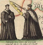
‘Picture This #4’—John Speed map of Cambridgeshire
The map of Cambridgeshire from the Library’s copy of John Speed’s Theatre of the Empire of Great Britaine is the fourth image in the University’s ‘Picture This’ series – short articles exploring images from around the University. Published 400 years ago in 1611/12, Speed’s atlas is one of the world’s great cartographic treasures and marked the first time that comprehensive plans of English and Welsh counties and towns were made available in print.

