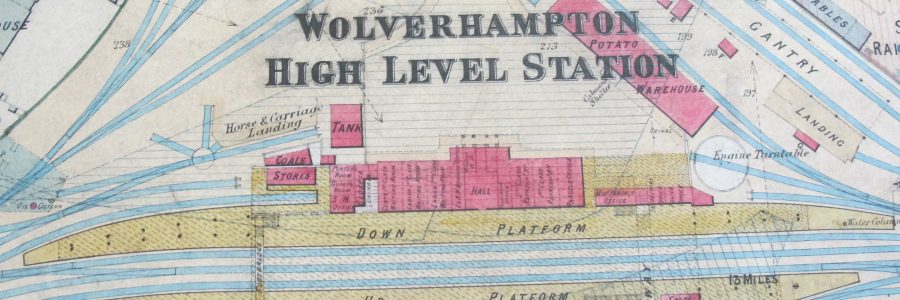
All Aboard! Railway Maps, Plans, Diagrams and Documents in Cambridge University Library Map Department
Cambridge University Library Map Department has amassed a huge, and rather miscellaneous, collection of maps, plans, diagrams and documents compiled by various pre-British Railways rail companies. Map Department staff have recently been looking at some of these items and thought them well worth sharing. It is quite a treasure trove!
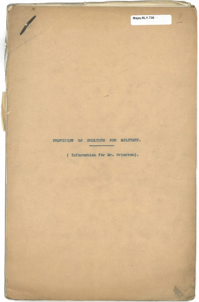
The collection, which has been acquired by both purchase and donation over many years, comprises over 4,500 items, many of which are manuscripts. Included are maps, plans, diagrams and longitudinal sections showing, for example, proposed routes, the layout of railway junctions and details of railway buildings and structures such as bridges, plus about 60 file boxes comprising documents and letters relating to matters like land purchase, maintenance of the railway system, and the use of carriages as shelters for the Military.
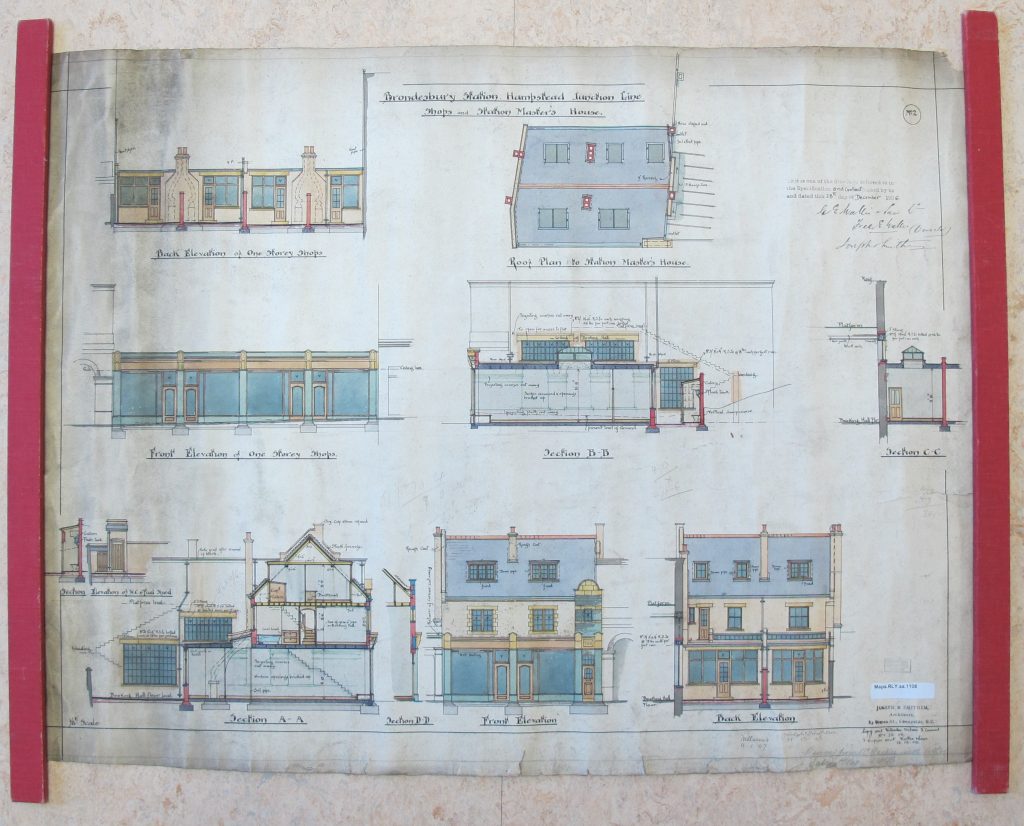
Classmark: Maps.RLY.aa.1108
The bulk of these items were acquired in the 1970s from – so Library legend has it – a man in Leicester who had saved them from being burnt. They appear to have been working documents (suggestions of provenance include the British Rail Depot at Market Harborough and the LMS (Midland Division) Estates Department), and many were covered in a soot-like substance!
The items generally fall into two distinct categories :
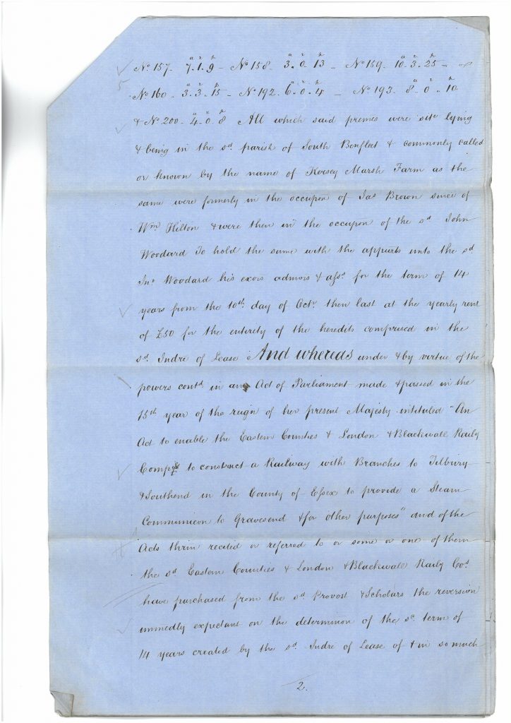
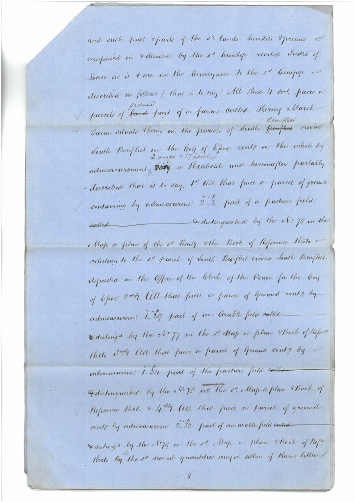
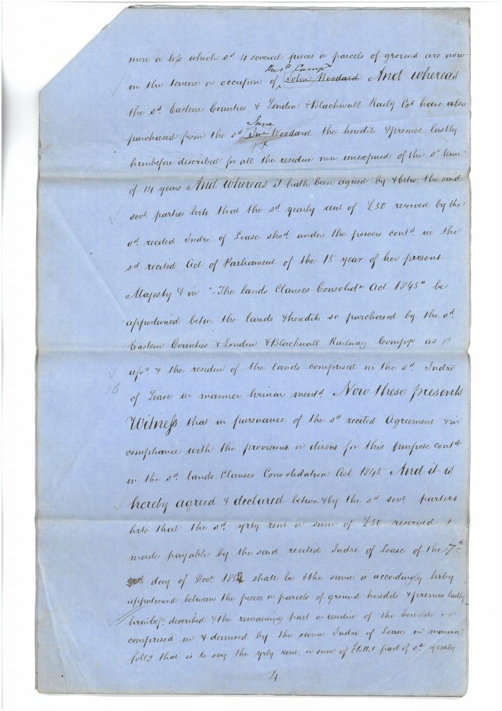
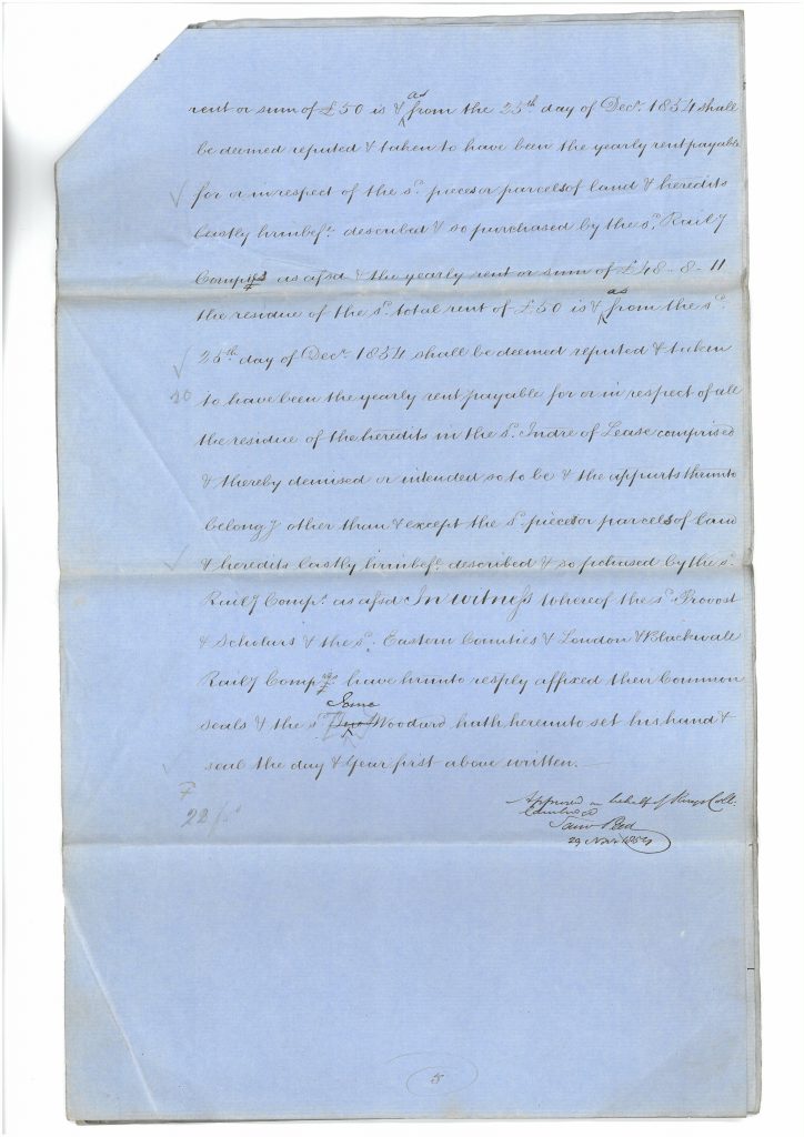
1) Documents relating to the London, Tilbury Line from its inception (Parliamentary Bill of 1852), through its various incarnations as part of The Eastern Counties Railway; London & Blackwall Railway; London, Tilbury & Southend Railway; Midland Railway (1912), and L.M.S. Railway (1923). Compulsory land purchase is very evident in the 1850s with the extensions from Tilbury to Southend, and the Barking & Bow Branch. Much material relating to the development of the Tilbury Ferry Terminal from 1926 until the early 1930s is well represented.
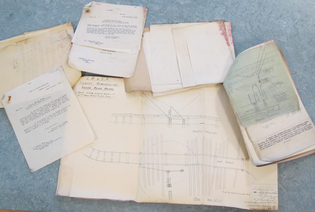
Classmark: Maps.RLY.1458 & Maps.RLY.1459
2) Documents from the Midland Railway, East Midlands area, covering Derby, Nottingham, Leicester and Kettering from its heyday in about 1912, through the L.M.S. period from 1923 until the early 1930s. Most of this material concerns day-to-day maintenance and repairs, but also covers significant improvement schemes including the Barking to Upminster widening in the early 1930s (eventually to become part of London Transport’s Underground system), widening at Longbridge and Barnt Green (Birmingham), and at Chevet and Snydale (Derbyshire), both in the late 1920s. Despite the decline of the inland waterway system during the period of this archive, the Midland Railway and subsequently L.M.S. Railway owned and maintained the Ashby Canal, of which many operational records survive. Other areas well represented are the mining areas of Nottinghamshire and Derbyshire where constant re-arrangements became necessary in the provision of new sidings to aid the transportation of coal for industry and the operation of the railway itself.
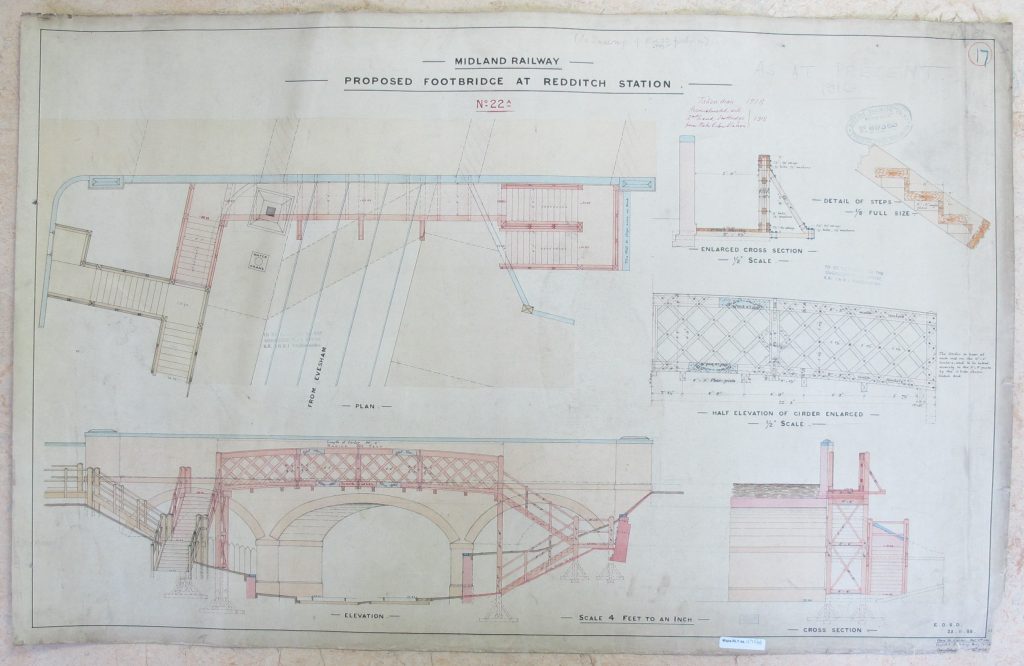
Classmark: Maps.RLY.aa.1171(4)
As it is believed that much material originated from storage in the East Midlands area, few records from the company’s London base at St Pancras are in this collection, but the available items include such topics as the renewal of parts of London’s Fleet Ditch (sewers that ran under parts of St Pancras Station), tunnel ventilation, and bridges over the Regent’s Canal, all accompanied by superb engineering drawings. All are well worth examination.
How to Find out What we Have
Brief descriptions of these items – as well as of some of the Department’s other railway collections – can be found on ArchiveSearch, the University’s Archive catalogue. Look, in particular, at the lists for classes Maps.RLY (smaller maps plus letters and other documents), Maps.RLY.aa (larger maps stored flat), Maps.RLY.R (large maps stored rolled) and Atlas.RLY (bound volumes of maps).
Additional railway maps (printed and manuscript) can be identified by looking at the Map Department’s card catalogue and at iDiscover, the Library’s online catalogue for (mostly) printed material. Not everything is catalogued online on iDiscover and/or Janus so you always need to search the card catalogue as well. Take a look at our web page on How to Find Maps in our catalogues.
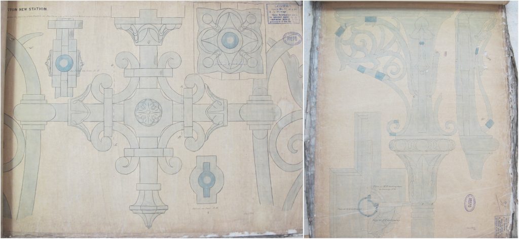
Classmark: Maps.RLY.R.75
Text by Michael Taylor ; pictures by Ian Pittock
February 2021: Note that ArchiveSearch replaced Janus as the University’s archive catalogue in February/March 2021. The text and links in this blog post have been updated to reflect this change. Tips on searching ArchiveSearch can be found on the Map Department’s web pages and in the ArchiveSearch LibGuide.
Further reading
Gordon Biddle (1990), The railway surveyors : the story of railway property management, 1800-1990. London : Ian Allan ; British Rail Property Board. ISBN : 0711019541
David Milbank Challis and Andy Rush (2009), The railways of Britain : an unstudied map corpus. In Imago Mundi, volume 61, part 2, pages 186-214.
Richard Dean (2016), Ordnance Survey on the rails. In Sheetlines, The Journal of the Charles Close Society for the study of Ordnance Survey maps, number 106, pages 4-11.
Gallery
A selection of images showing items from the Railway Collection. Click on an item’s classmark to view its catalogue record in Janus.
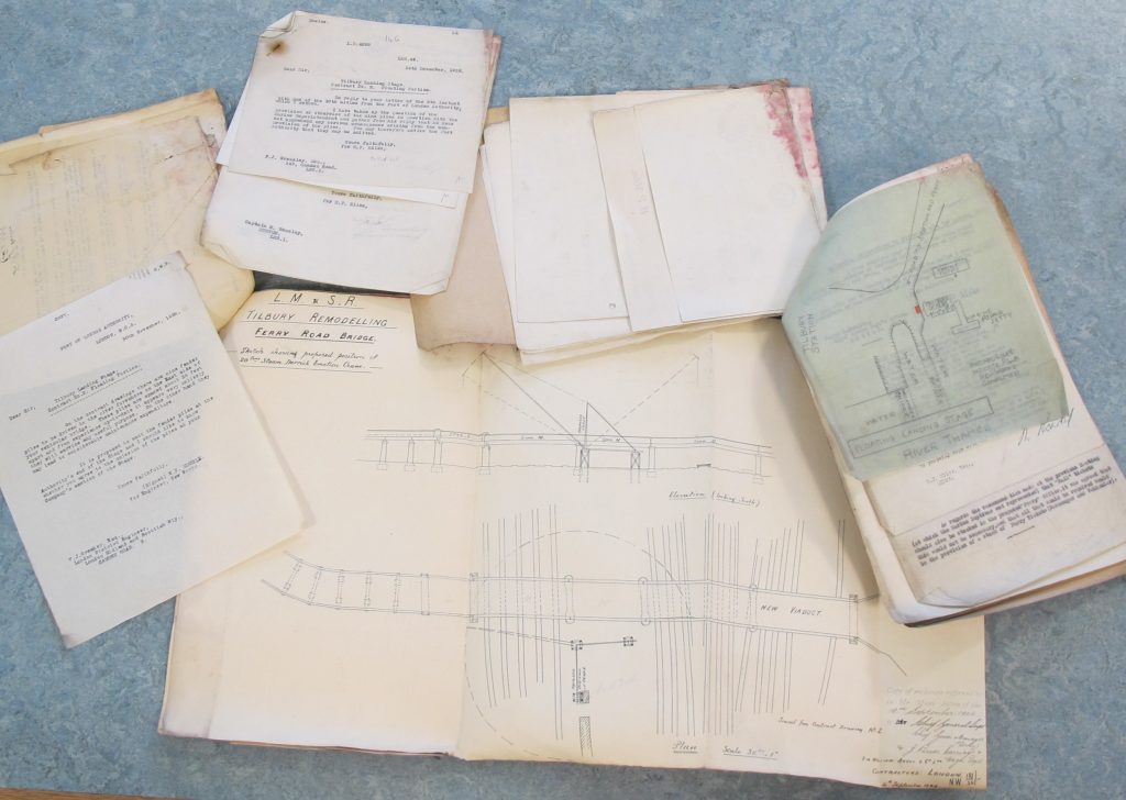
Maps.RLY.1458 & Maps.RLY.1459 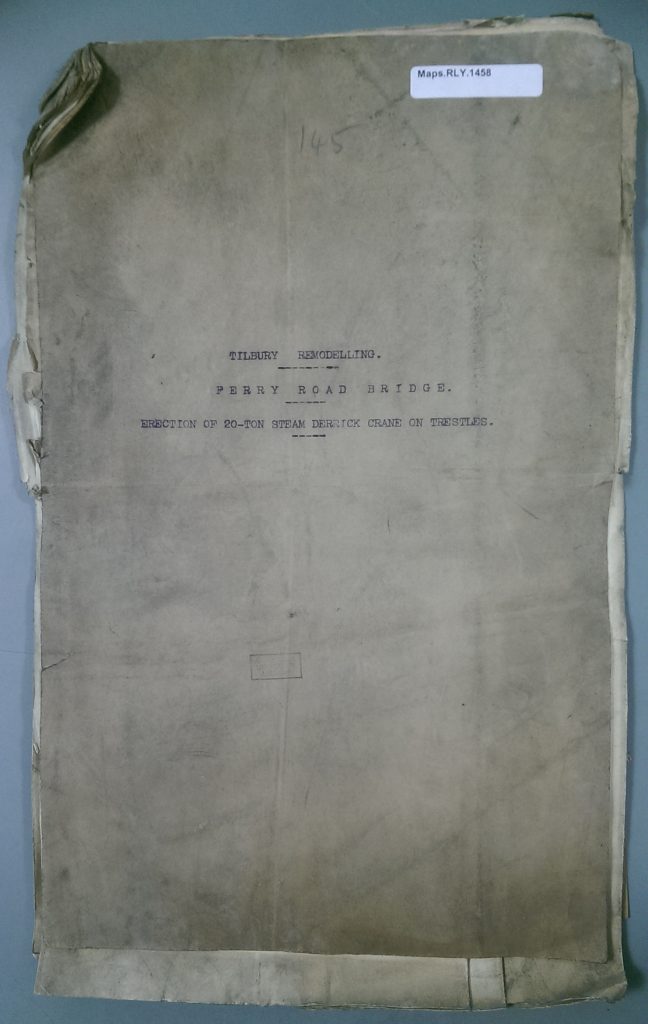
Maps.RLY.1458 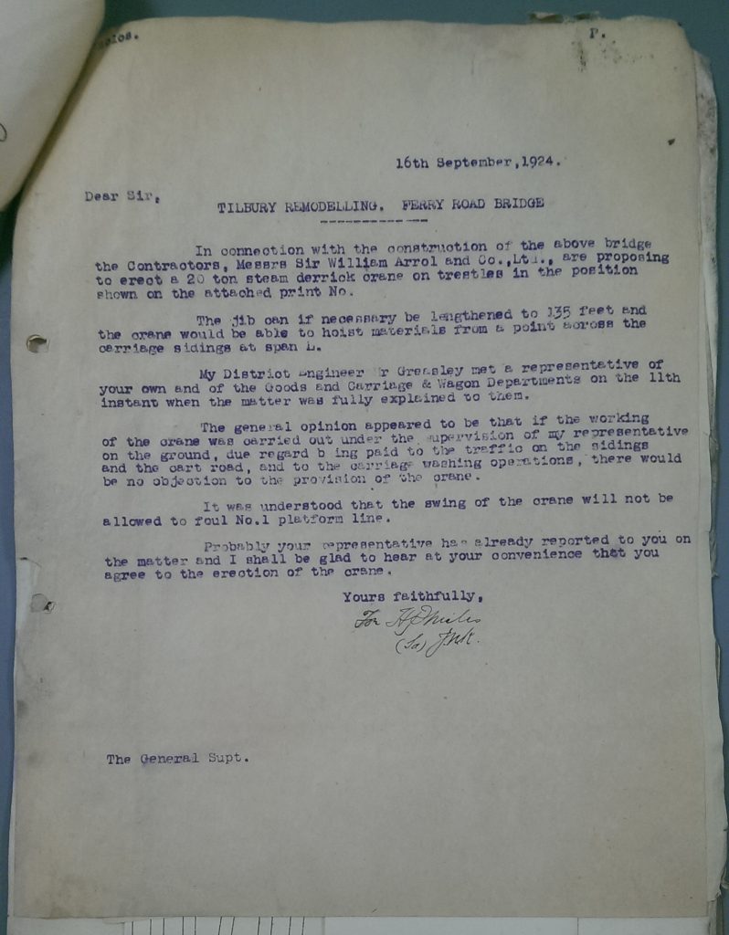
Maps.RLY.1458 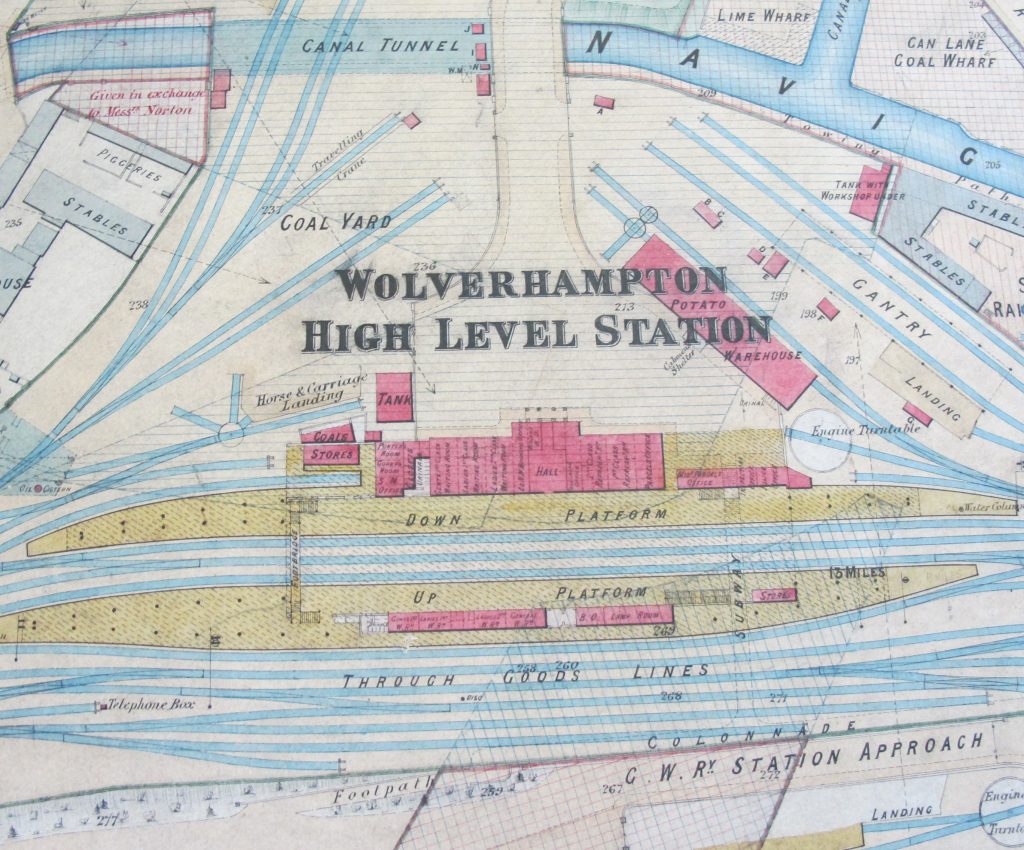
Maps.RLY.aa.366-370 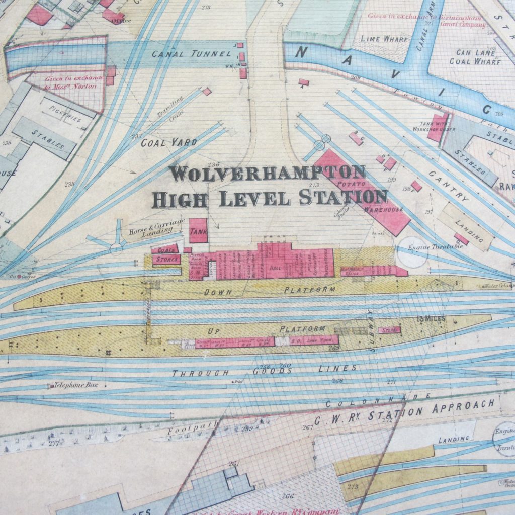
Maps.RLY.aa.366-370 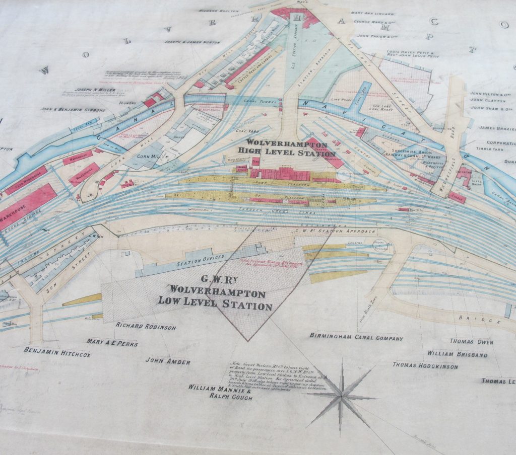
Maps.RLY.aa.366-370 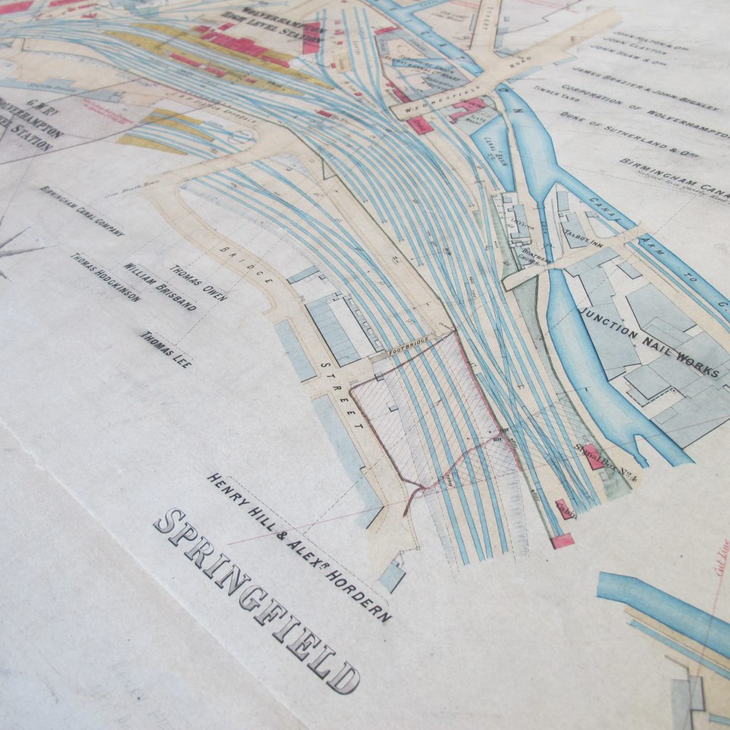
Maps.RLY.aa.366-370 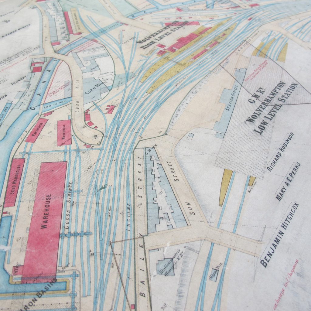
Maps.RLY.aa.366-370 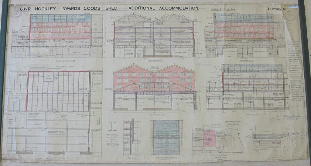
Maps.RLY.aa.1050(1) 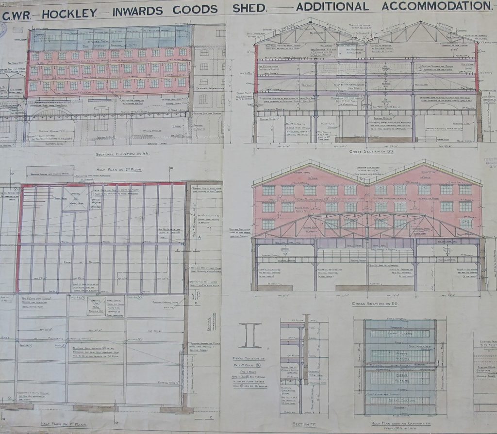
Maps.RLY.aa.1050(1) 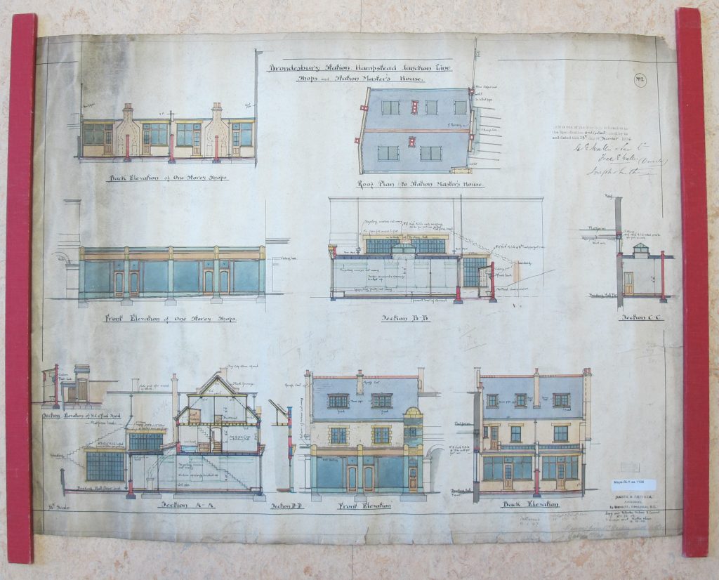
Maps.RLY.aa.1108 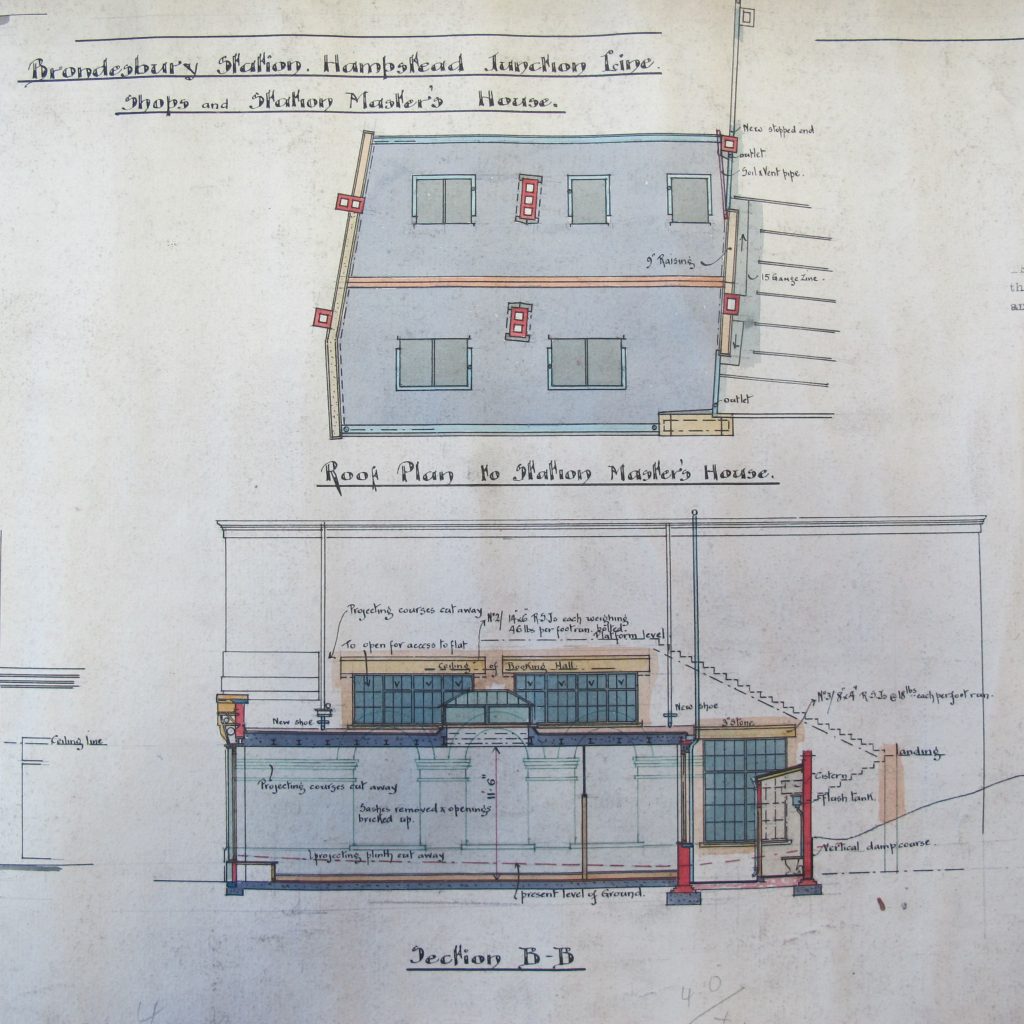
Maps.RLY.aa.1108 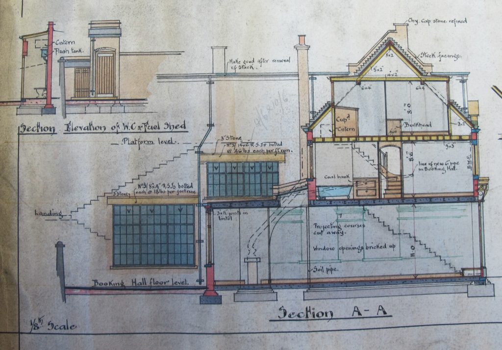
Maps.RLY.aa.1108 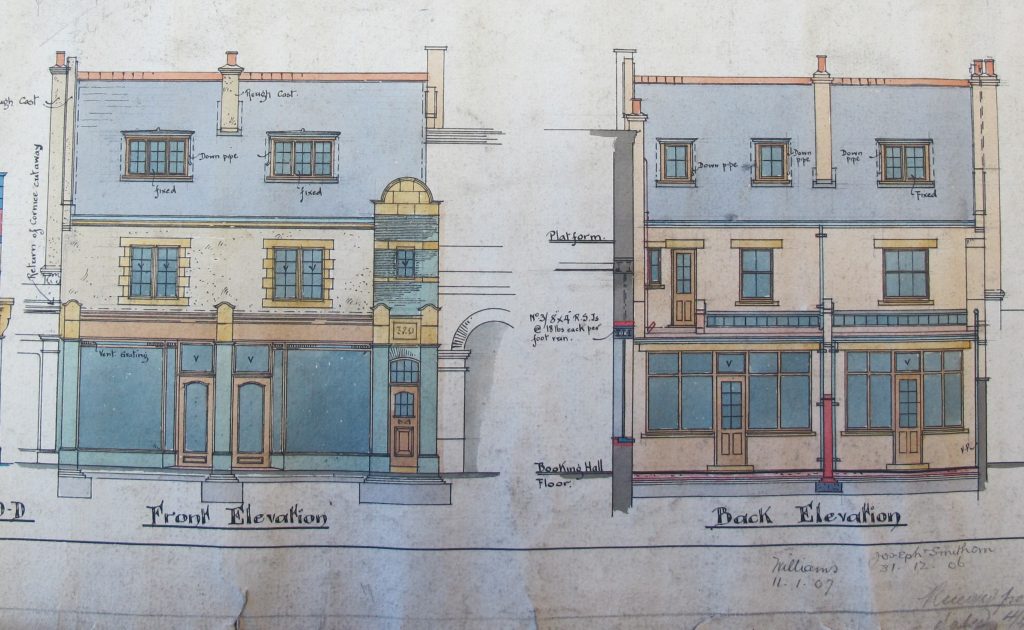
Maps.RLY.aa.1108 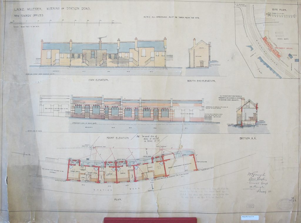
Maps.RLY.aa.1110 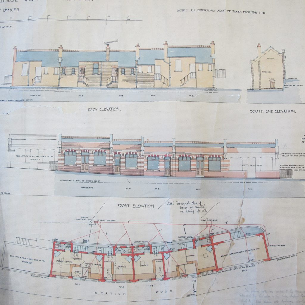
Maps.RLY.aa.1110 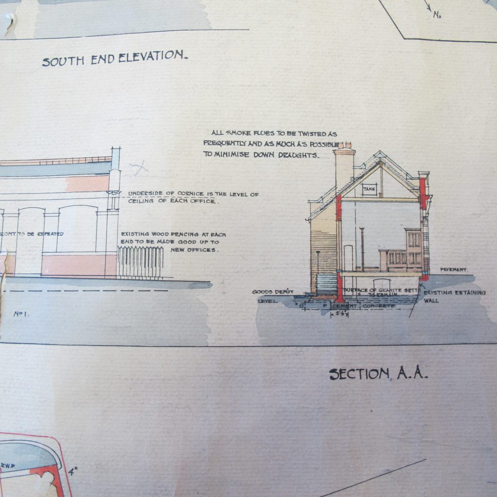
Maps.RLY.aa.1110 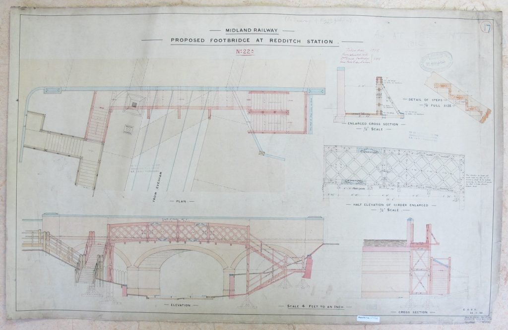
Maps.RLY.aa.1171(4) 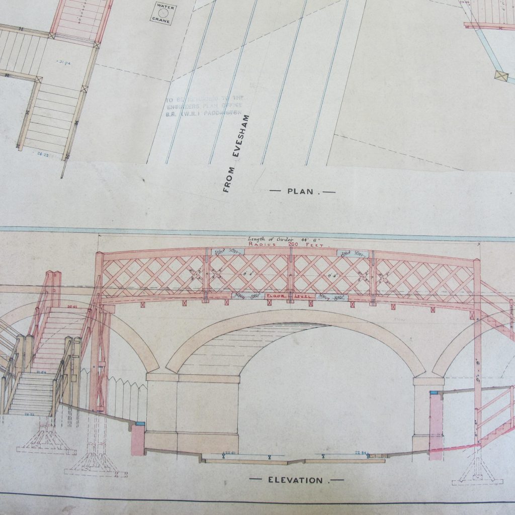
Maps.RLY.aa.1171(4) 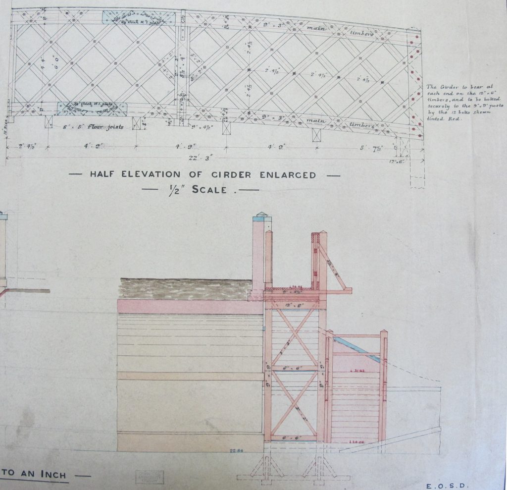
Maps.RLY.aa.1171(4) 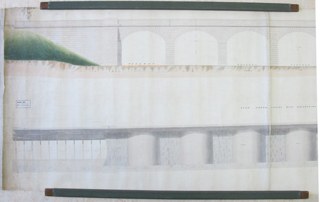
Maps.RLY.R.56 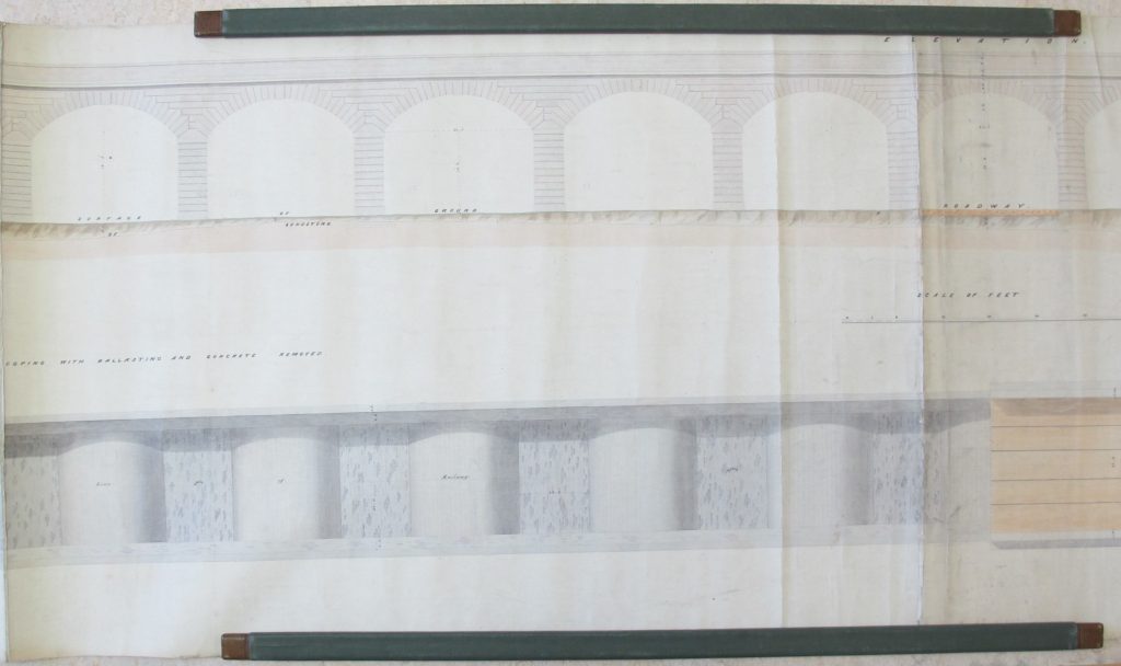
Maps.RLY.R.56 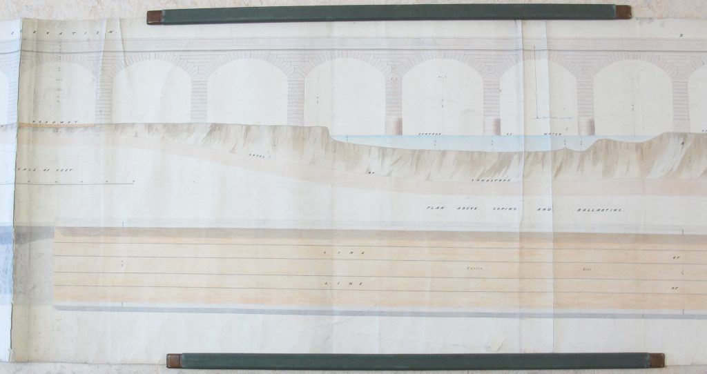
Maps.RLY.R.56 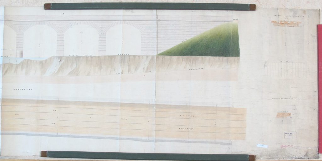
Maps.RLY.R.56 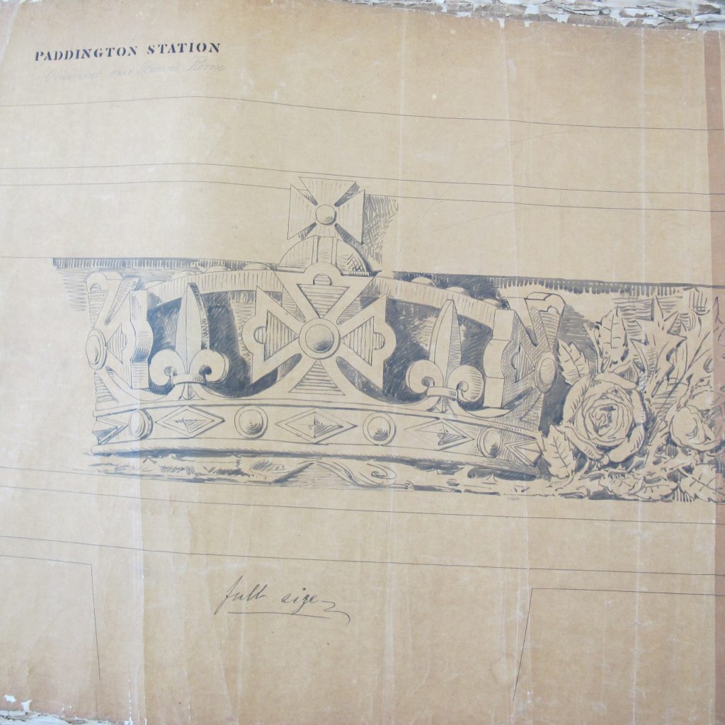
Maps.RLY.R.75 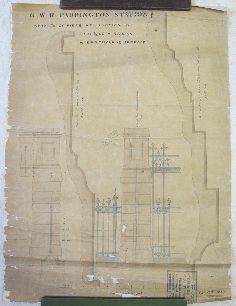
Maps.RLY.R.75 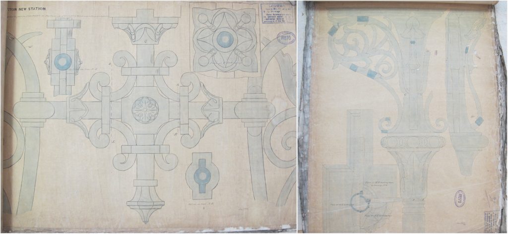
Maps.RLY.R.75 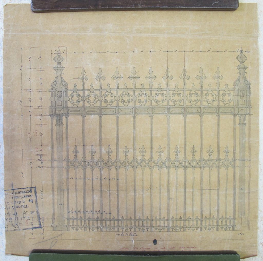
Maps.RLY.R.75

Fascinating. Didn’t think of UL as source of these. I will seek out the Imago Mundi article. Would be interesting to know provenance. Perhaps some come from the leaching of BR archives via King’s Cross shop c.1980 which caused a storm.
Thank you. I am sure that the collection has many hidden treasures. I don’t think we ever knew the true provenance but someone with the appropriate knowledge could make an educated guess and one such suggestion has been the LMS (Midland Division) Estates Department.
In the nineteenth century, any original design drawing and mapping to indicate the location of new sidings etc etc, would be preserved in the divisional engineer’s offices, assuming it had an engineering relevance. (Division = some geographical area of local responsibility for the continuing upkeep of the built assets.) In addition the Estate Surveyor woud keep a record of the extent of lands acquired by the original railway constriction, and any subsequent wayleaves, sales, acquisitions etc etc. Up until (say) 1960 the maintenance of the records was taken very seriously. It was rather time consuming.
After that time, a more relaxed attitude took hold, and maintenance of the records was given a lower priority. Furthermore there were a series of office reorganisations in which the geographical scope of responsibility was changed. In a perfect world this would have involved a careful review of all the record documents, and transfer of them to the right office that was taking over that area. We did not work in a perfect world, and not much attention was given to this.
The bottom line is that the last location of record drawings was haphazard, and in many cases was a skip.
If this shocks anyone, see the drawing for teh detail of the junction of high level railings and low level railings at Paddington, in this collection. Wonderful technical drawing. Relevance to work in the late twentieth century? Nil.
I write this as the former Director of Civil Engineering of Railtrack.
Nigel
Thank you so much for this valuable insight.
I was a cartographic surveyor with OS 1965-82 and surveyor/draughtsman with BR Property Board 1982-98 latterly Chief Draughtsman/Surveyor in Scotland. As there was no central archive for BR railway plans/drawings I passed any redundant items not required for operational or non-op business to the Scottish Records Office who have a railway archive. I did once hear rumours of engineering drawings being skipped and retreived. But perhaps Scotland’s most historic line plan of the Duke of Portland’s tramway from Troon to Kilmarnock of 1807, which was known about but missing for decades, being discovered in an engineer’s office and is now with SRO. I have also seen railway plans on secondhand book dealers’ lists and wondered how they got there. The railway and canal historian and writer Gordon Biddle wrote (I assisted for Scottish input), “The Railway Surveyors” pub Ian Allan 1990 may be of interest.
Incidently the clearing process for artifacts was first to offer The National Railway Museum at York and if they didn’t require them the BR Euston shop. I did neither but passed a items to The Glasgow Transport Museum.
Thanks Mike. I’ll look at the book (we must have a copy here somewhere!). I’ve added the book to the list of ‘Further Reading’ above.
I hesitate to add anything to the expert opinions above, but I have been looking through the listings of the files etc, and it is an astonishing mix that includes
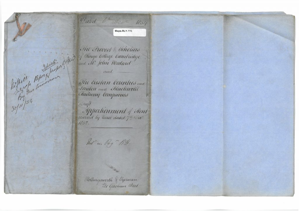
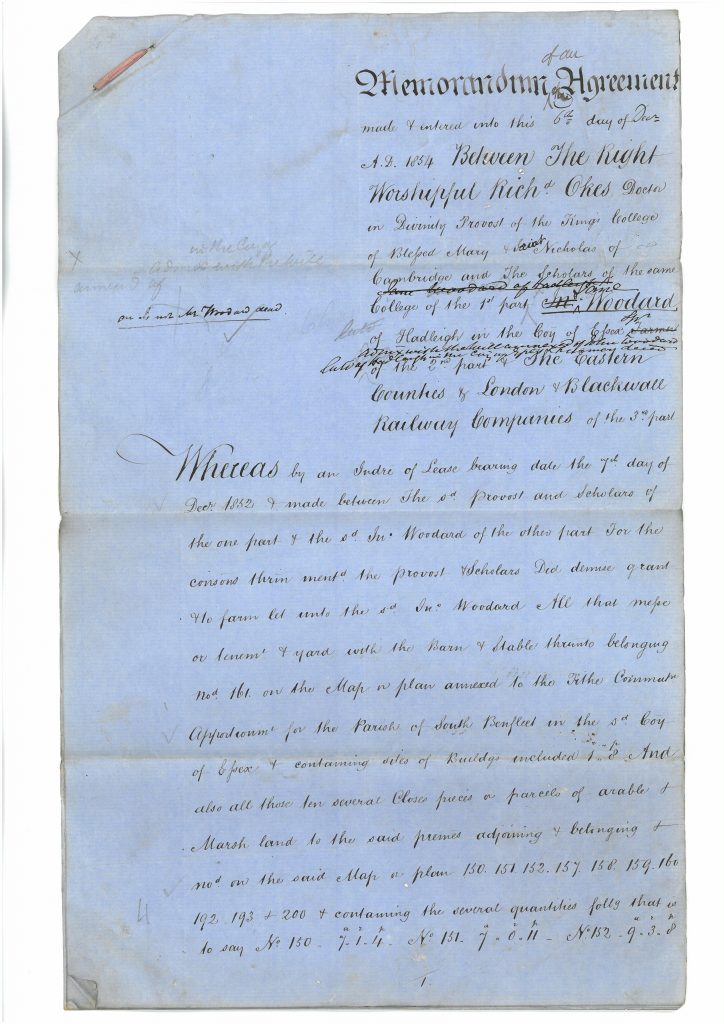
(a) property deeds which one would expect to have been retained permanently by the Estates or Legal Dept, almost all from the 1850s and relating to the London & Blackwall / Eastern Counties Rly, together with
(b) routine returns and correspondence of the 1920s from around Leicester, which one might expect to have been thrown out after ten years – or during a WW2 salvage drive.
That these should have been brought together requires either an astonishing degree of carelessness in the shipping of records, or else a ‘squirrel’ who had been saving things from skips, perhaps over many years and with an assistant or assistants in places remote from Leicester.
I have known ‘squirrels’ in other organisations, often operating with the quiet approval of local management. One such man was responsible for saving a massive collection of engineering drawings from the late Ruston-Bucyrus company, which have now been steered to a public repository in Lincoln. So I reckon the legend is correct and the source was a Leicester squirrel.