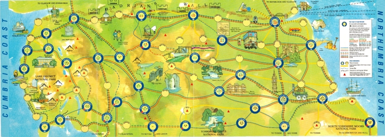
Where have all the bus maps gone? – a guest blog by John Davies
Where have all the bus maps gone? Well, nearly 1,000 bus maps, a collection accumulated by John Davies over many years (with some inherited from […]
Continue reading »
Where have all the bus maps gone? Well, nearly 1,000 bus maps, a collection accumulated by John Davies over many years (with some inherited from […]
Continue reading »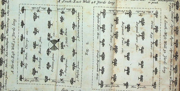
Researchers and authors will use a variety of resources and consult items across the University Library collections and beyond. Although library and archive staff may […]
Continue reading »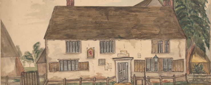
Richard Relhan’s topographical drawings, with a date range of 1797-1838, are an expressive record of buildings and the countryside in a period immediately preceding immense […]
Continue reading »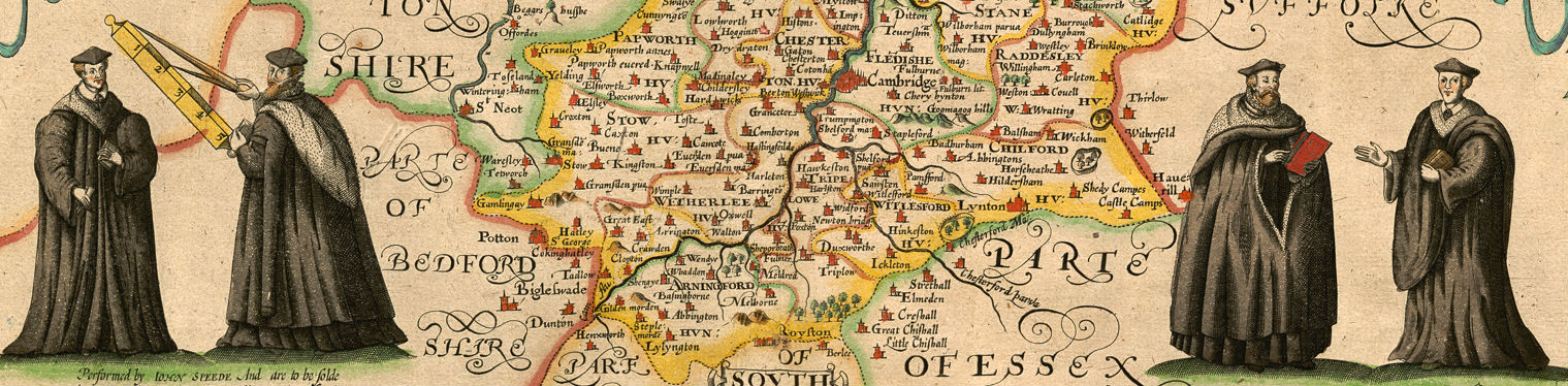
120 days in Lockdown and counting … Read a Blog Post commissioned by the Cambridge Library Group describing what Cambridge University Library Map Department staff have […]
Continue reading »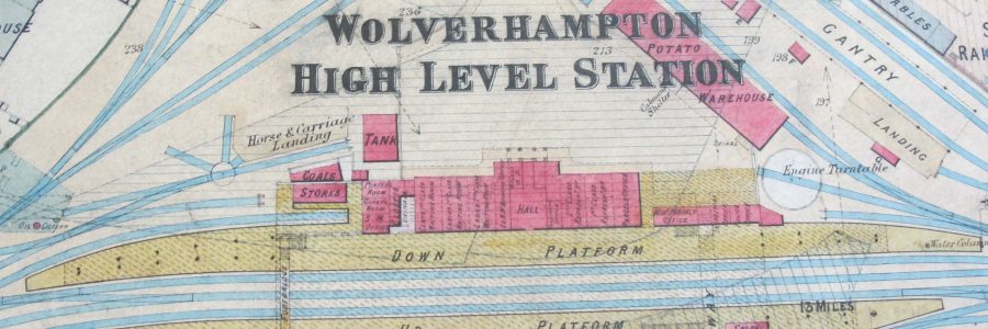
Cambridge University Library Map Department has amassed a huge, and rather miscellaneous, collection of maps, plans, diagrams and documents compiled by various pre-British Railways rail […]
Continue reading »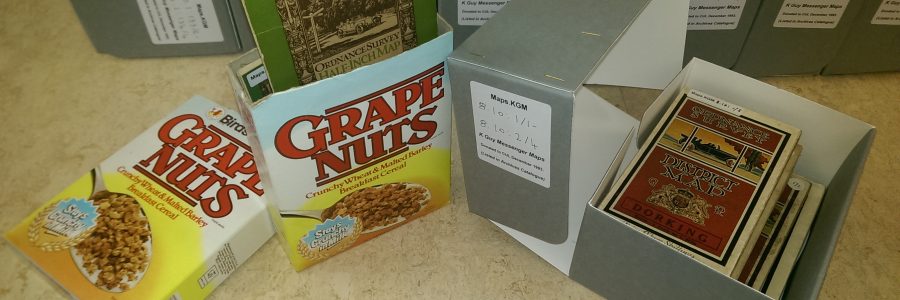
In January 1994 Cambridge University Library’s Map Department received a large donation of maps from the estate of Kenneth Guy Messenger (1920-1993). As well as […]
Continue reading »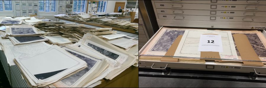
The 24th April 2019 saw the culmination of a four-month project to move approximately 49,000 German maps from Cambridge University Library Map Department to the […]
Continue reading »Since the first volume appeared in 1987 the University of Chicago’s History of Cartography series of monographs has become a standard and authoritative reference work […]
Continue reading »